PRODUCT INTRODUCTION
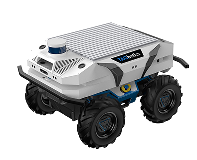
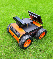
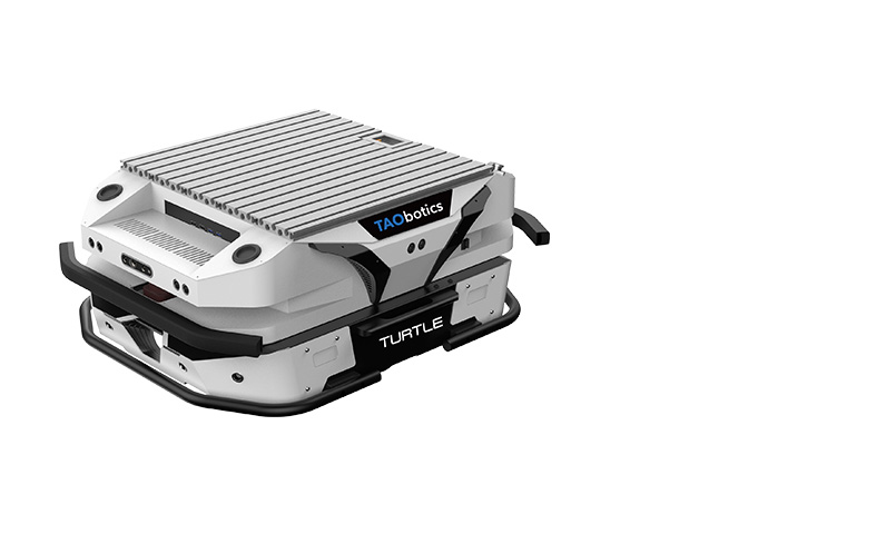
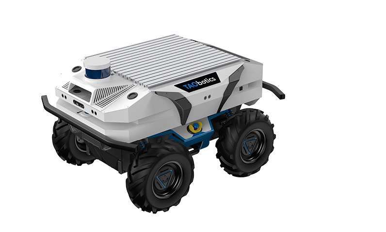
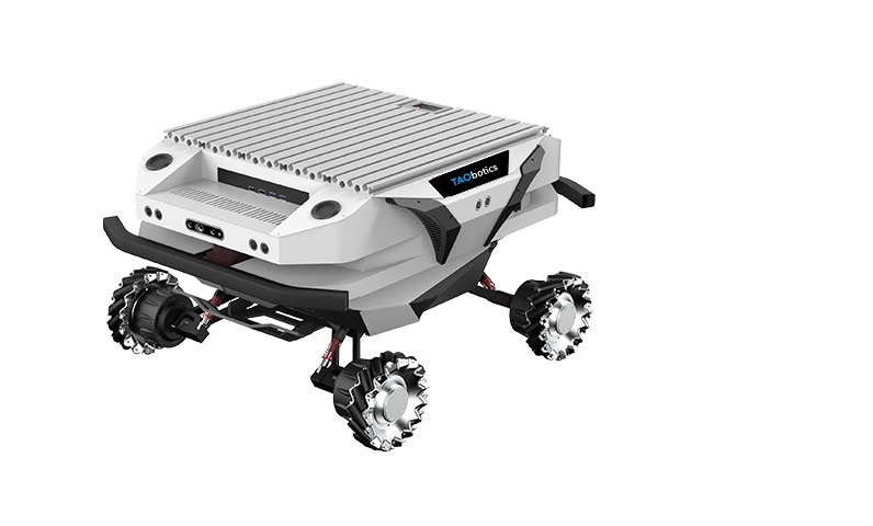
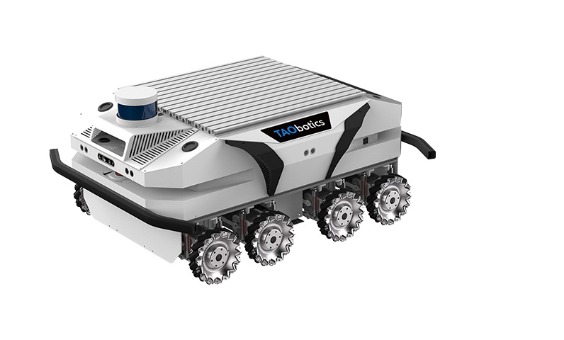
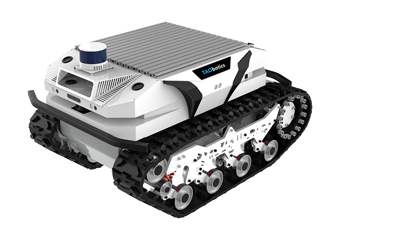
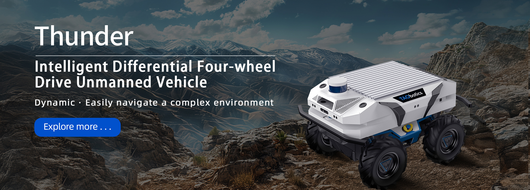
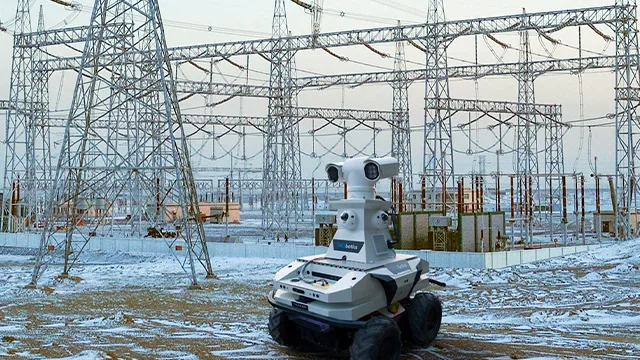
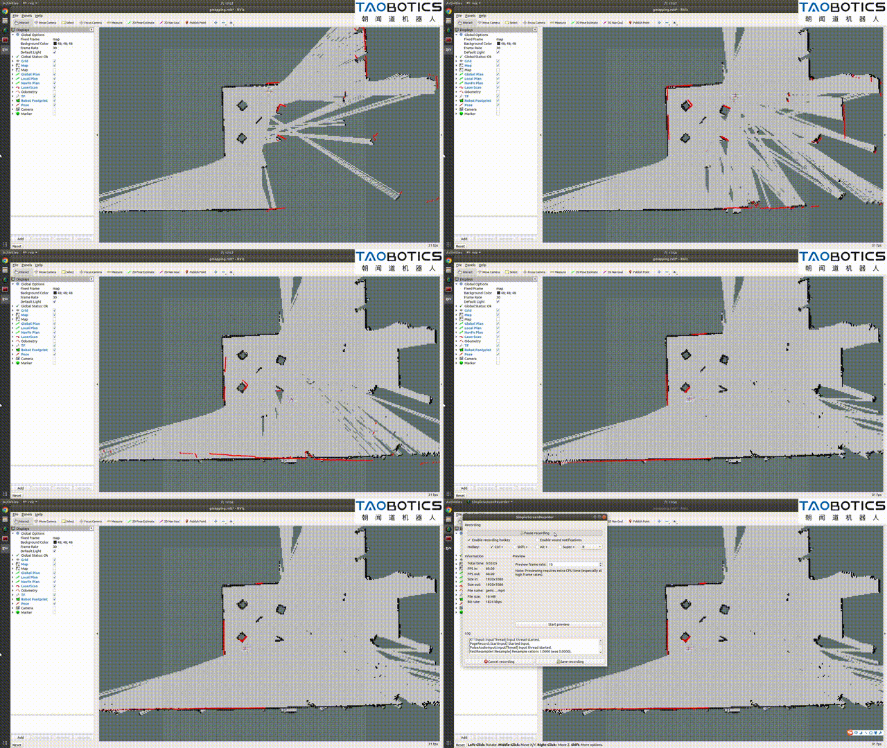
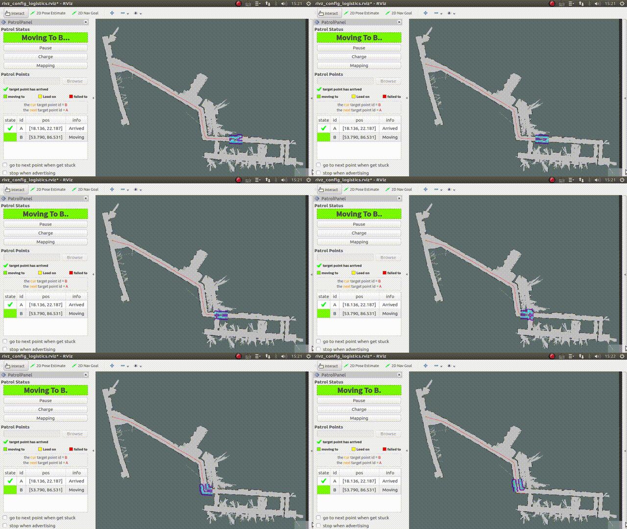
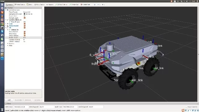
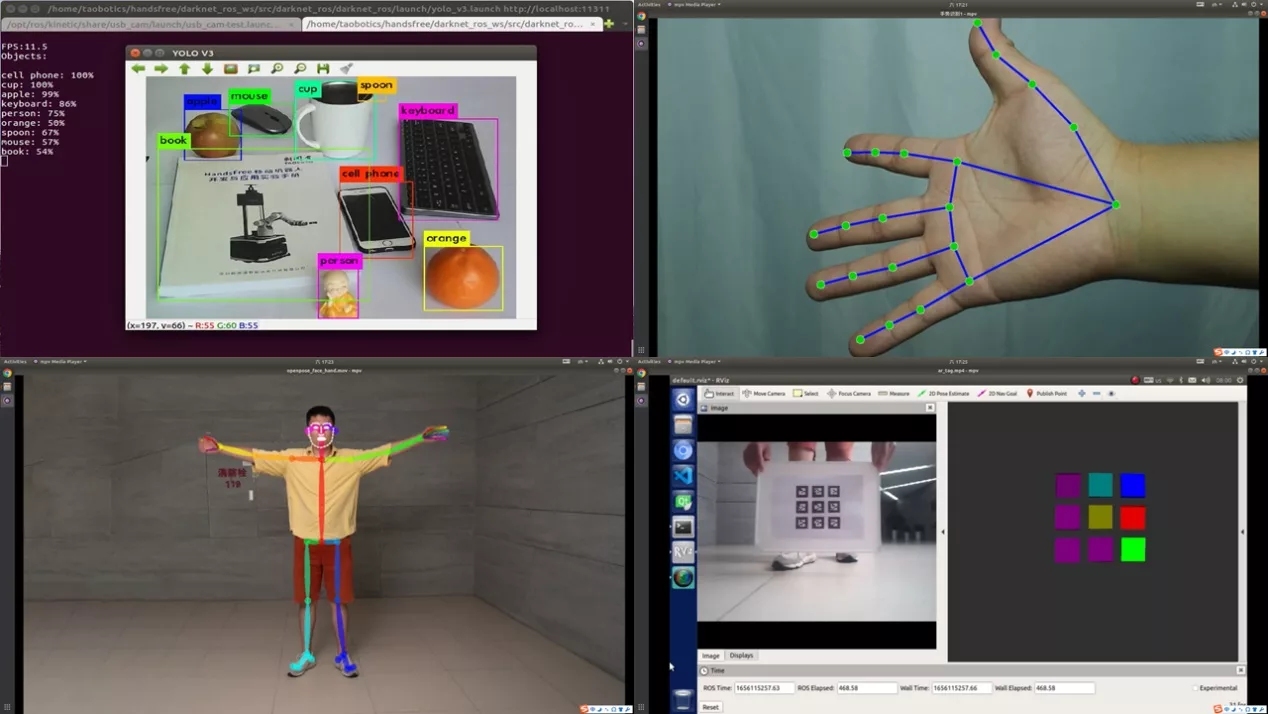
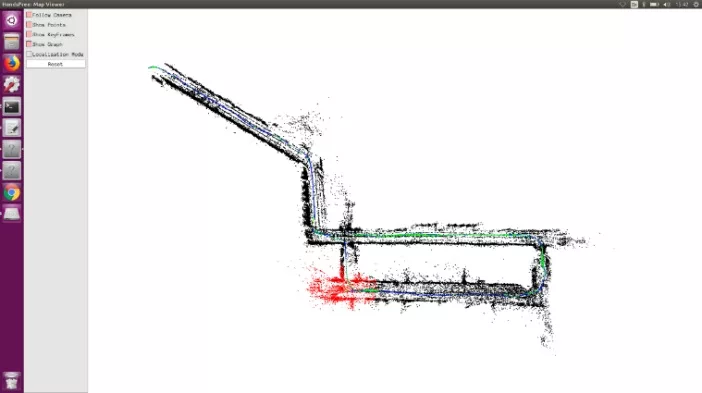
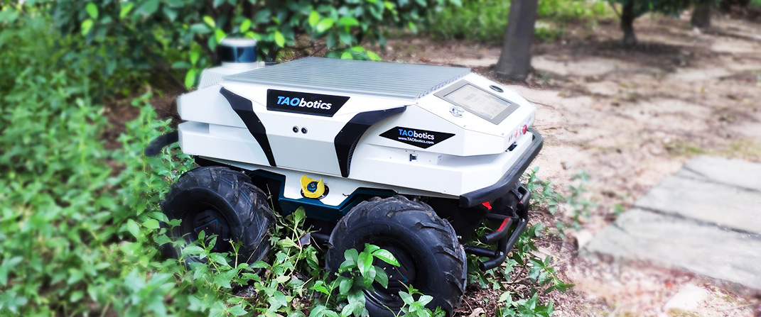
The Thunder intelligent four-wheel drive unmanned vehicle adopts a differential chassis, which is suitable for environments such as fields, factories, parks, and deserts. Integrated odometer, LiDAR, and visual camera, supporting SLAM, positioning navigation, and object recognition, suitable for teaching and research.
PRODUCT FEATURE

Cargo Transport

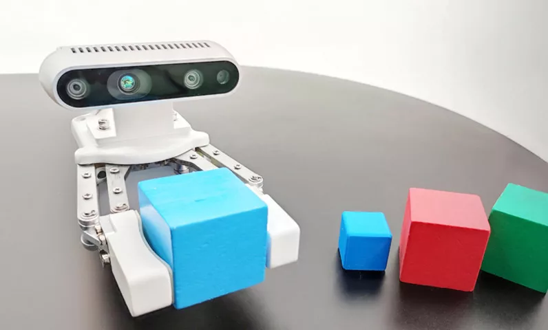
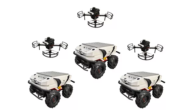
Supporting Robot Arm

Strong Performance

Ultra-long Battery Life

Autonomous Navigation

Camera

Lidar Positioning

Open Source Code

C++

Python

ROS

Use Tutorial
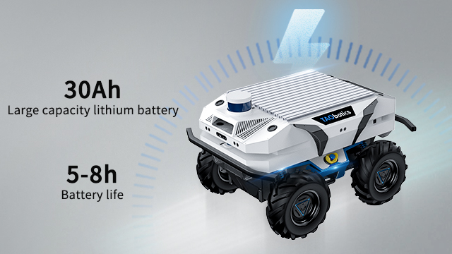
Ultra-long Battery Life
The robot is equipped with a 30Ah lithium battery, which reduces charging frequency and extends battery life. This enables robots to adapt to complex scenarios, flexibly arrange work time and tasks, meet various usage needs, and allow you to focus more on task execution.
Powerful computing power
The onboard host is equipped with an independent graphics card, providing powerful computing power. Whether it is complex environment perception, real-time decision-making, or large-scale data computation, it can be processed quickly and efficiently, ensuring that each operation is precise and fast.

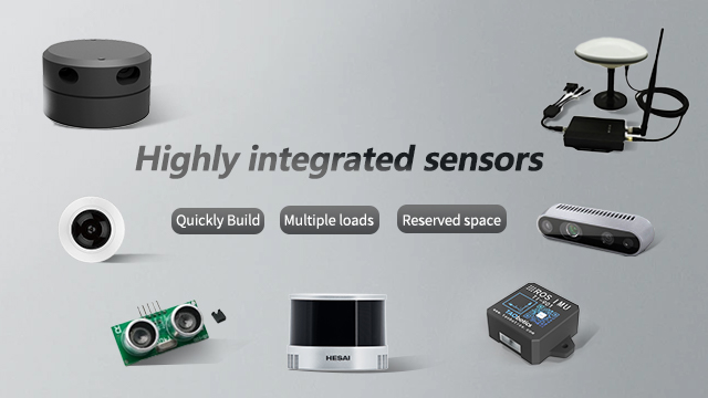
Highly integrated sensor
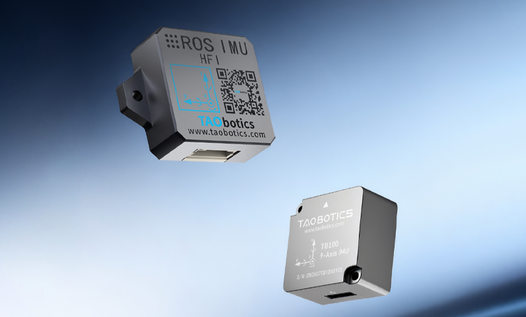
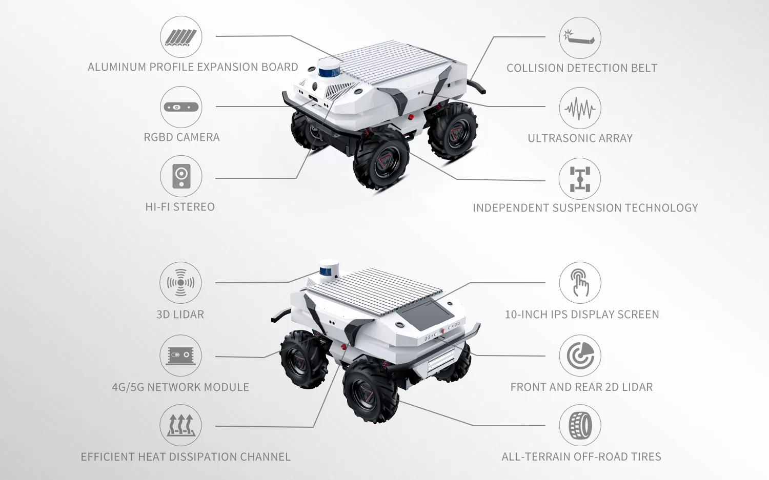
Equipped with sensors such as radar, depth camera, ultrasound, etc., build an efficient perception system, improve navigation accuracy, and easily handle complex tasks. Further new application scenarios can be explored based on these sensors.
Designer and manufacturer of mobile robots, shipped to over 50 countries worldwide
Ultra-wide field of view
Dual LiDAR and 6 millimeter wave radars provide wide-angle coverage, enabling comprehensive and blind spot monitoring of the surrounding environment of the car, ensuring accurate perception, real-time feedback, and significantly improving safety.
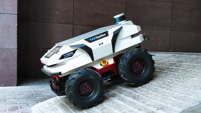
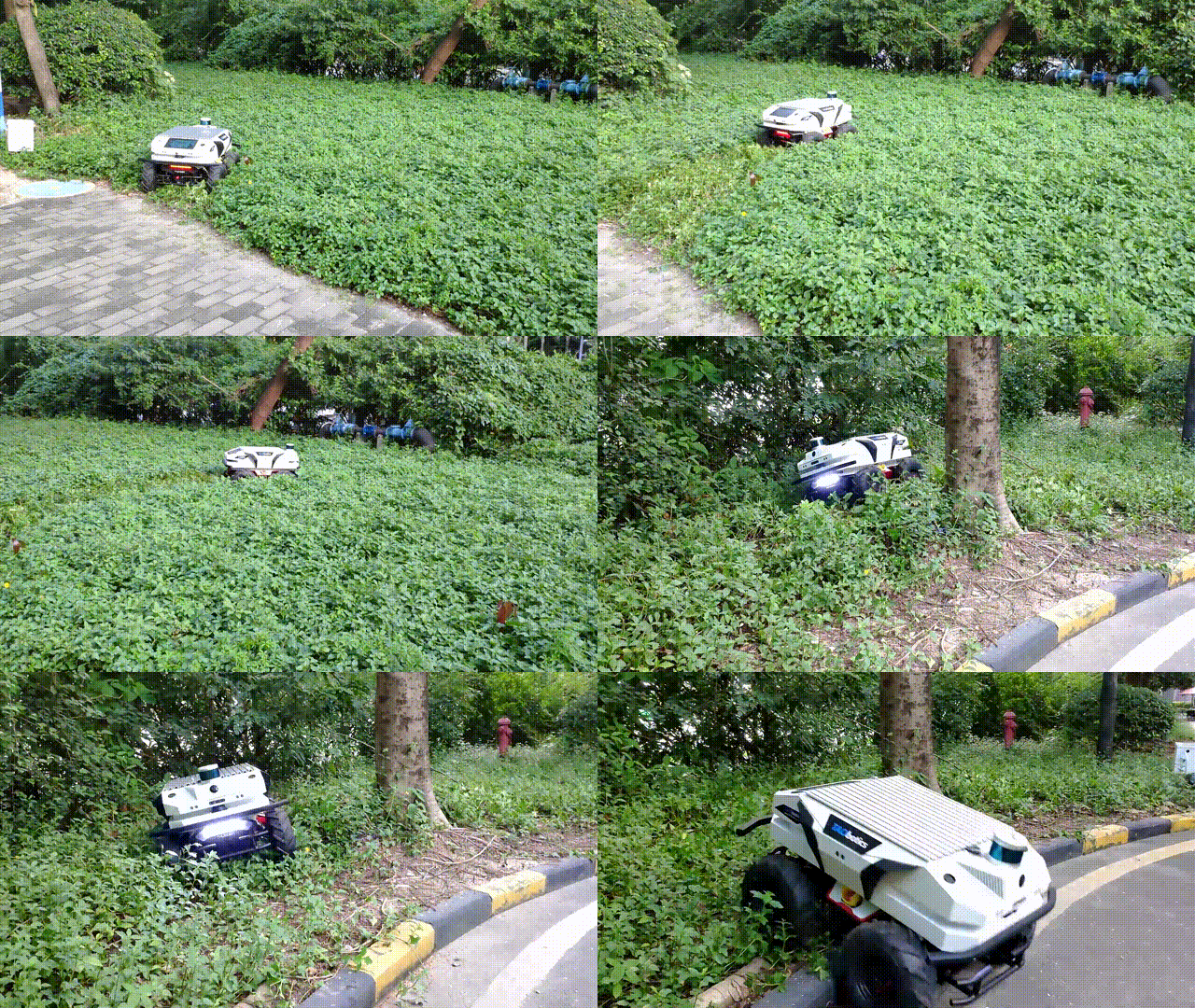
SUPER STRONG OBSTACLE CROSSING
The robot is equipped with large-sized off-road tires and four-wheel independent suspension structure, coupled with high-performance motors, giving it super strong off-road capabilities. Can easily handle complex terrain, freely shuttle and work efficiently.
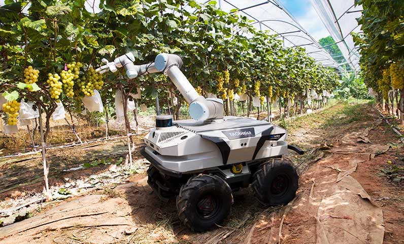
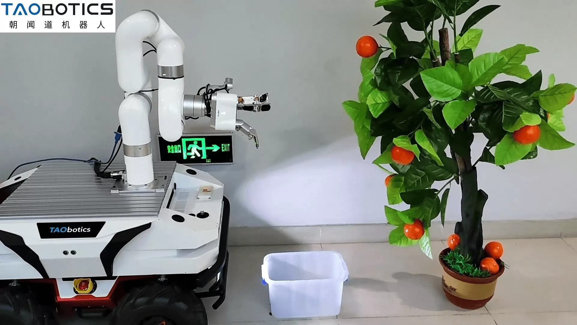
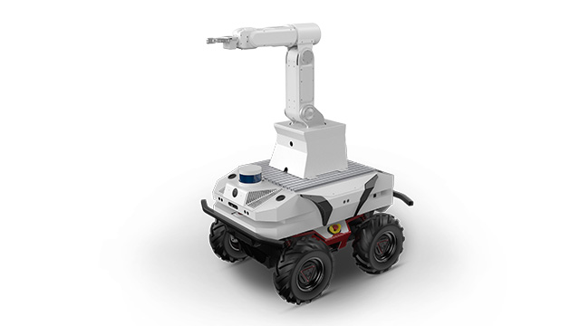
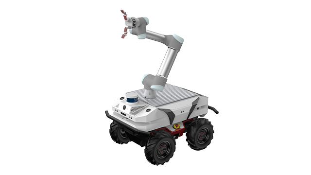
SMART AGRICULTURE PICKING ROBOT SYSTEMSMART AGRICULTURE PICKING ROBOT SYSTEM
The Smart Agriculture Picking Robot System RS-AGR utilizes embedded systems, mobile navigation, robotic arm planning, and visual recognition technologies to achieve unmanned fruit and vegetable picking through unmanned vehicles, robotic arms, cameras, and LiDAR.
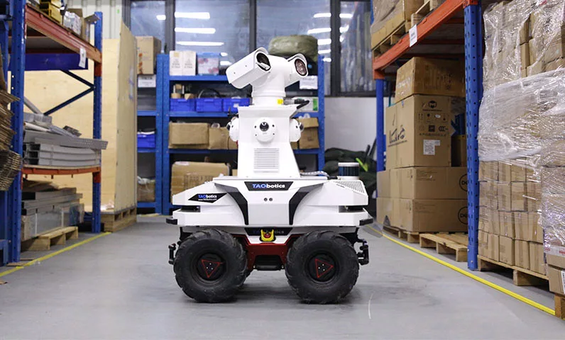
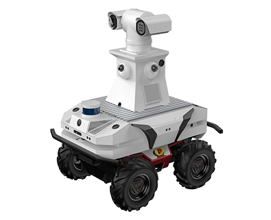
5G REMOTE SECURITY INSPECTION ROBOT SYSTEM
The 5G security inspection robot system combines motion control and environmental perception to achieve 4K high-definition feedback, remote control, target tracking, and dual light source shooting through 5G, supporting complex terrain inspection and cloud operations.

TECHNICAL PARANMETER
Specifications | Standard Configuration | High Configuration | |
Dimension | 950mmx718mmx600mm | ||
Ground Clearance | 150mm | ||
Driving Mode | Four-wheel differential drive + Independent suspension | ||
Weight | 110kg | ||
Maximum Load | 80kg | ||
Maximum Speed | 1.5m/s | ||
Maximum Climbing Angle | 25° | ||
Minimum Turning Radius | 0m | ||
Battery Capacity | 30Ah | ||
Operating Time | 5-8h | ||
Standby Time | 8h | ||
Power Supply Interface | 5V,12V,24V | ||
Communication Interface | USB Communication Interface x3,CAN Communication Interface x1,Communication Network Interface x3 | ||
Embedded Host | CPU | Intel Core i9 Processor | |
Memory | 16G | ||
Storage | 512G | ||
Graphics | GTX1660S | ||
Master Control | Master Chip | STM32 F4 Series | |
3D Lidar | Channels | / | 16 |
Scanning Radius | / | 0.05m-120m | |
Accuracy | / | 0.5cm | |
Augular Resolution | / | Horizontal: 0.09°@5Hz, 0.18°@10Hz, 0.36°@20Hz;
Vertical: 2°; | |
Scan Rate | / | 5-20Hz | |
Sample Rate | / | 320000Hz | |
Horizontal FOV | / | 360° | |
Vertical FOV | / | 30° (-15° ~ +15°) | |
2D Lidar | Amount | 2 | |
Scanning Radius | 0.1-40m | ||
Accuracy | ±30mm | ||
Augular Resolution | 0.23°@10Hz,0.34°@15Hz | ||
Scan Rate | 7-15Hz | ||
Sample Rate | 16200Hz | ||
Angular Range | 0-360° | ||
Depth Camera | RGB FOV | 71°x43.7° | |
RGB Resolution & Frame Rate | 1920*1080,30fps(Max) | ||
Depth FOV | 67.9°x45.3° | ||
Depth Resolution & Frame Rate | 1280×720,30fps(Max) | ||
Depth Distance | 0.3~3m | ||
Depth Accuracy | ±1-6mm (Within 1 meter) | ||
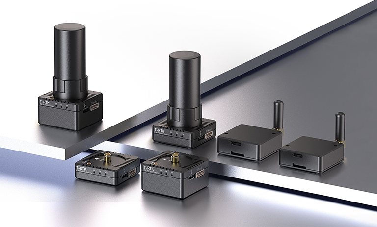
RTK | Refresh Rate | / | 20Hz |
Positioning Accuracy | / | Data change along cloud sharing | |
RTK Surveyin-time | / | Data change along cloud sharing | |
GNSS | / | BDS/GPS/GLONASS/Galileo/QZSS | |
4G Network Module | Maximum Transmission Rate | 150Mbps | |
Number of Gigabit Ethernet Ports | 4 | ||
Frequency Band | 2.4GHz & 5GHz | ||
Ultrasonic Sensor | Amount | 6 | |
Range | 2-450cm
| ||
Accuracy | 0.5cm
| ||
Frequency | 20Hz | ||
Screen | Resolution | 1280×800 | |
Dimension | 10.1 in | ||
Touch Screen | Yes | ||
Speaker | Amount | 1 | |
Collision Detection Belt | Amount | 2 | |
Length | 74cm | ||
Function Buttons | Emergency Stop Switch x1; Interactive Functional Button x2, features customizable. | ||
