| Parameters | Model |
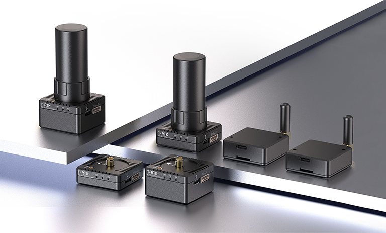
| T-RTK UM982 Mobile | T-RTK UM982 Base | T-RTK UM982 OneBase |
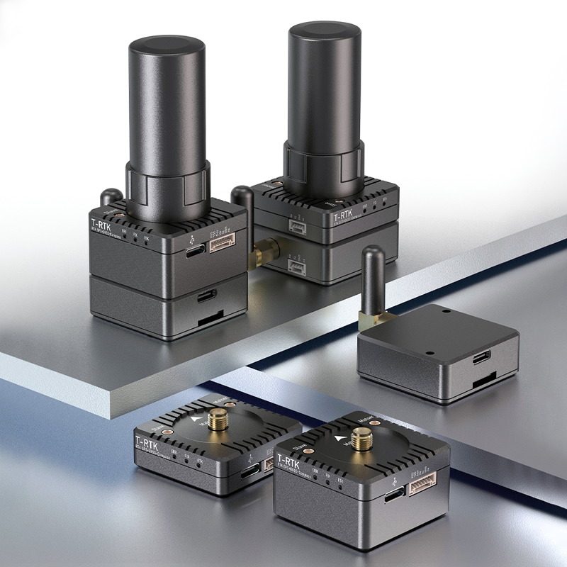
| Positioning Module | Model | UM982 |
| Basic Information | Passageway | 1408 Passageway,Based on NebulasIV |
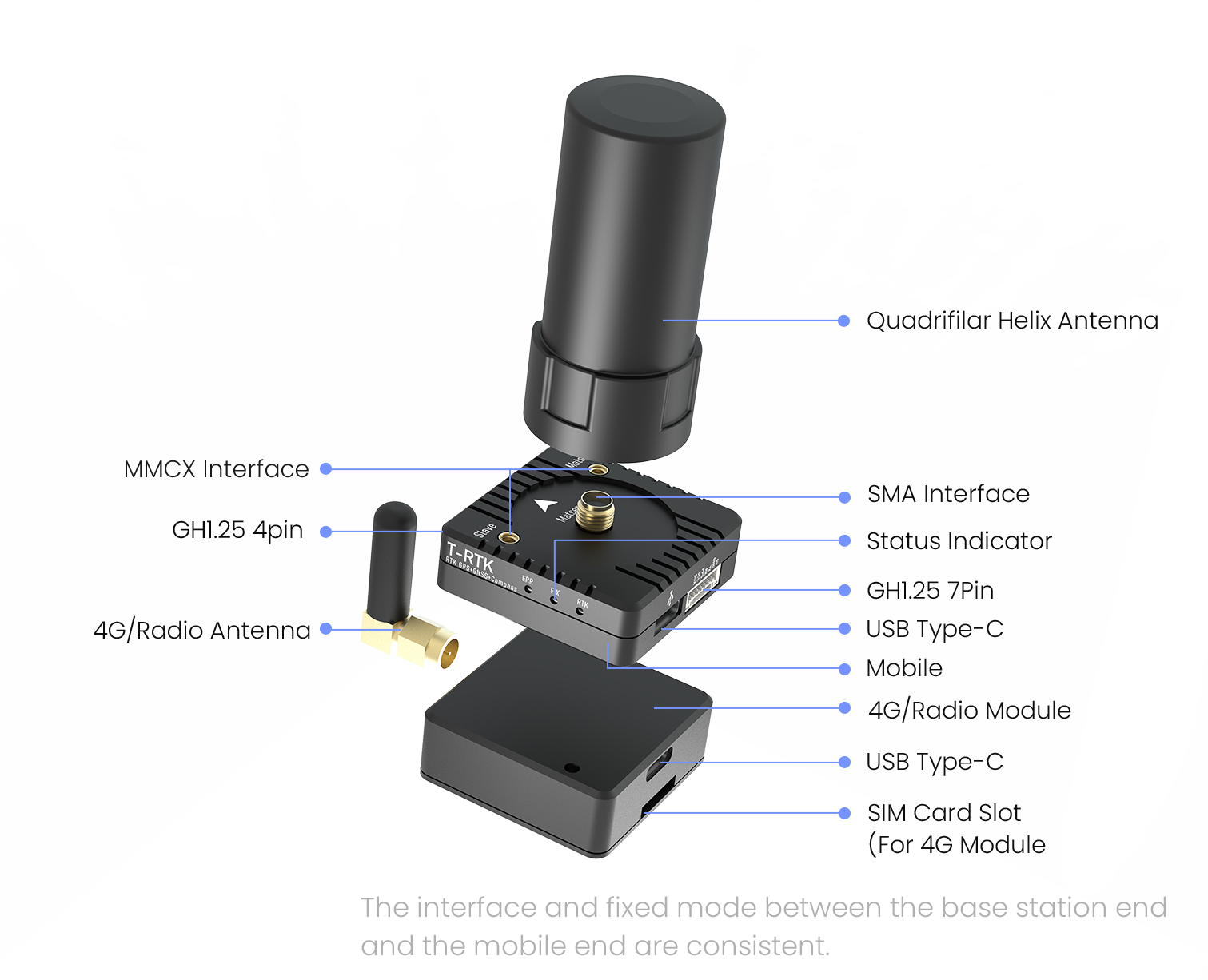
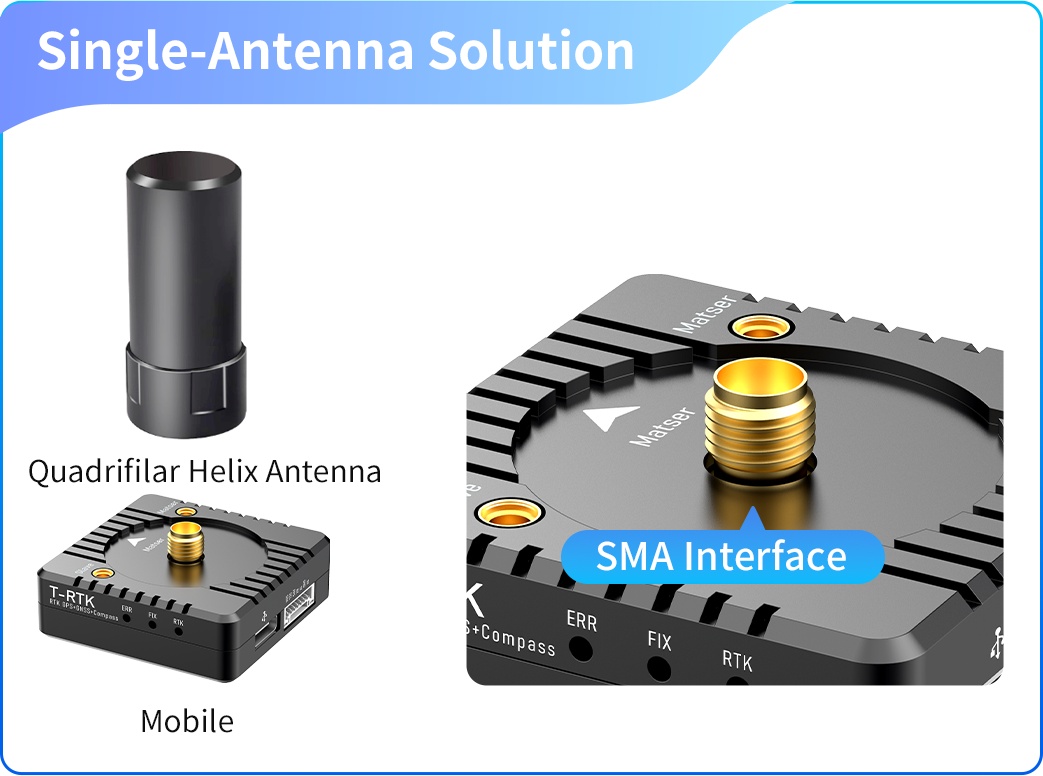
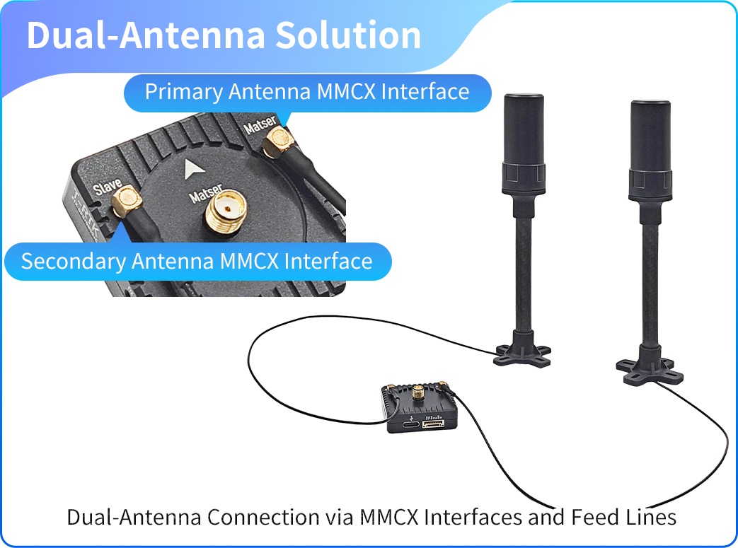
| Antenna Interface | MMCX*2、SMA*1 | MMCX*2、 | SMA*1 |
| SMA*1 |
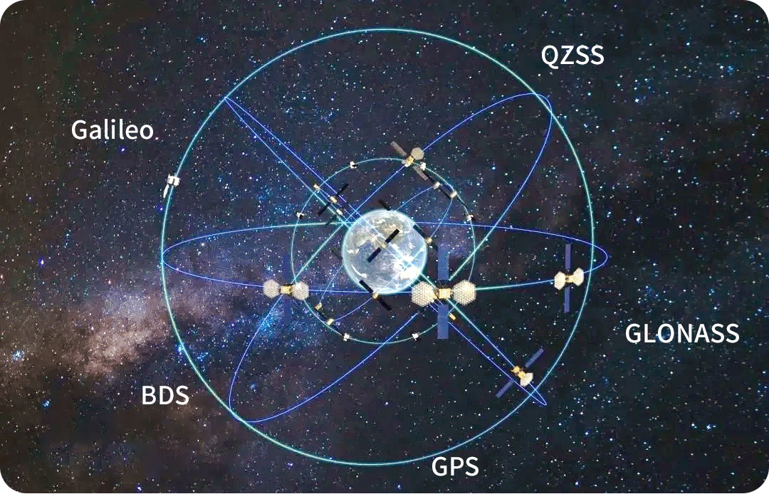
| Mode | BDS B1I/B2I/B3I、GPS L1C/L2/L5 |
| GLONASS G1/G2、Galileo E1/E5a/E5b |
| QZSS L1/L2/L5、SBAS |
| Primary antenna frequency | BDS: B1I、B2I、 B3I |
| GPS: L1C/A、L2P (Y)/L2C、L5 |
| GLONASS: G1、G2 |
| Galileo: E1、E5a、E5b |
| QZSS: L1、L2、L5 |
| From antenna frequency points | BDS: B1I、B2I、 B3I |
| GPS: L1C/A、L2C |
| GLONASS: G1、G2 |
| Galileo: E1、E5b |
| QZSS: L1、L2 |
| Performance Metrics | RTK(RMS) | Flat:0.8cm+1ppm |
| Elevation:1.5cm+1ppm |
| Single-point positioning(RMS) | Flat:1.5m |
| Elevation:2.5m |
| DGPS(RMS) | Flat:0.4m+1ppm |
| Elevation:0.8m+1ppm |
| PPP(RMS) | Flat:5cm |
| Elevation:10cm |
| Directional accuracy(RMS) | 0.1°/1m Baseline |
| PPS accuracy(RMS) | 20 ns |
| Speed Accuracy(RMS) | 0.03 m/s |
| Cold start | <30 s |
| Hot Start | < 4 s |
| Initialization time | <5s(Typical value) |
| Initialization Reliability | > 99.9% |
| Data refresh rate | Default 2 Hz, maximum 20 Hz |
| Positioning and direction finding at 20Hz, 20Hz raw observation measurements |
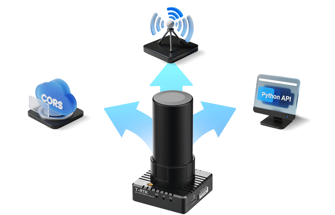
| Differential data | RTCM 3.X |
| Data Format | NMEA-0183, Unicore |
| Baud rate | 4800bps~921600bps(Default 115200bps) |
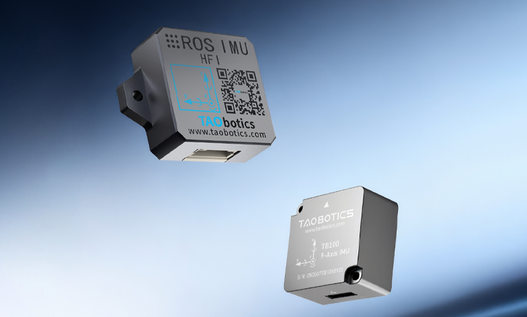
| Magnetometer | Mode | IST8310 |
| Measurement Range | ±1600 μT (X, Y Axis)、±2500 μT (Z Axis) |
| Offset temperature drift | 0.024 μT/°C |
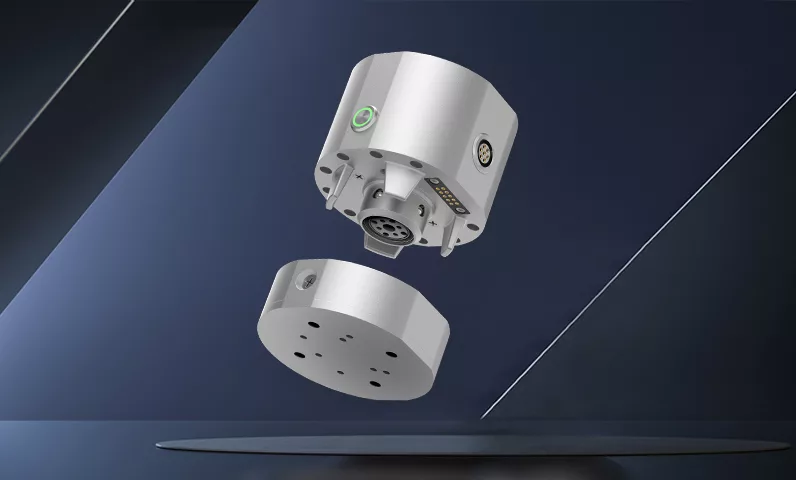
| Physical Properties | Dimensions | 39mm*39mm*12.5mm | 39mm*39mm*22.1mm | 147mm*82mm*36mm |
| Weight | 34g(Without antenna) | 52g(Without antenna) | 386g |
| Electrical Characteristics | voltage | 5V |
| Power consumption | 1300mW | 2000mW | 2888mW |
| Range | – | – | 9h |
| Environmental Indicators (RTK Chip)) | Operating Temperature | -40℃~+85℃ |
| Storage temperature | -55℃~+95℃ |
| Humidity | 95% non-condensing |
| Vibration | GJB150.16-2009,MIL-STD-810F |
| Impact | GJB150.18-2009,MIL-STD-810F |
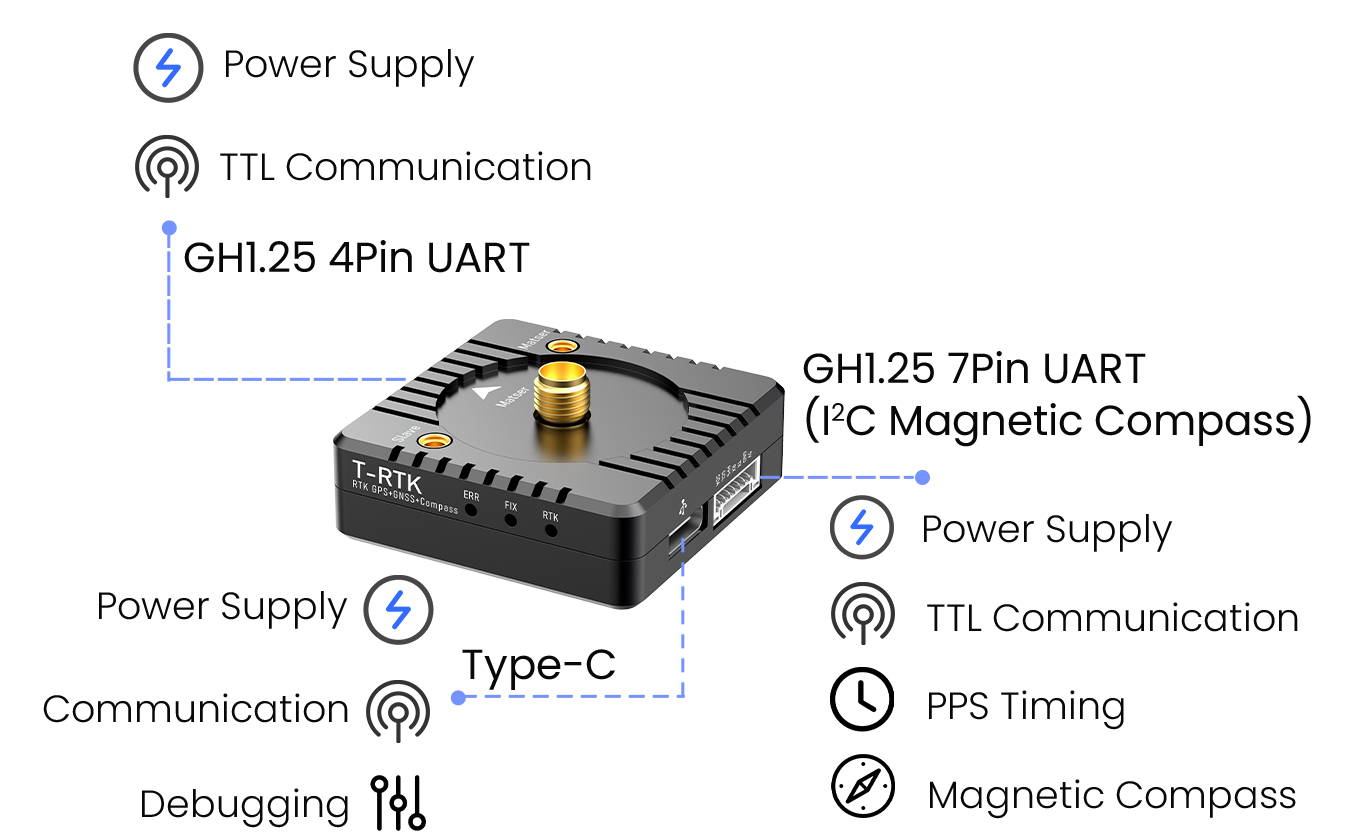
| Communication Interface | I2C | I2C x 1(Shared with 7-pin UART) |
| USB port | USB x 1 |
| UART | 4Pin UART x 1,7Pin UART x 1 | 7Pin UART x 1 |
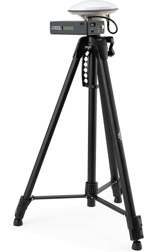
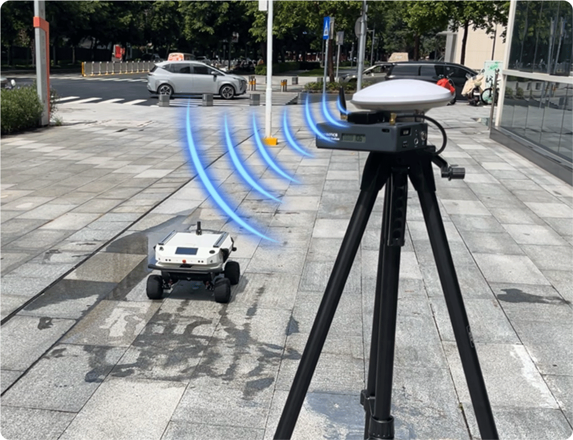
| Integrated Base Station | Tripod height | Up to 1.80m |
| External Power Supply Port | XT30 x 1,12V |
| Antenna Interface | Retain only SMA |
| Voltage Display | Support |
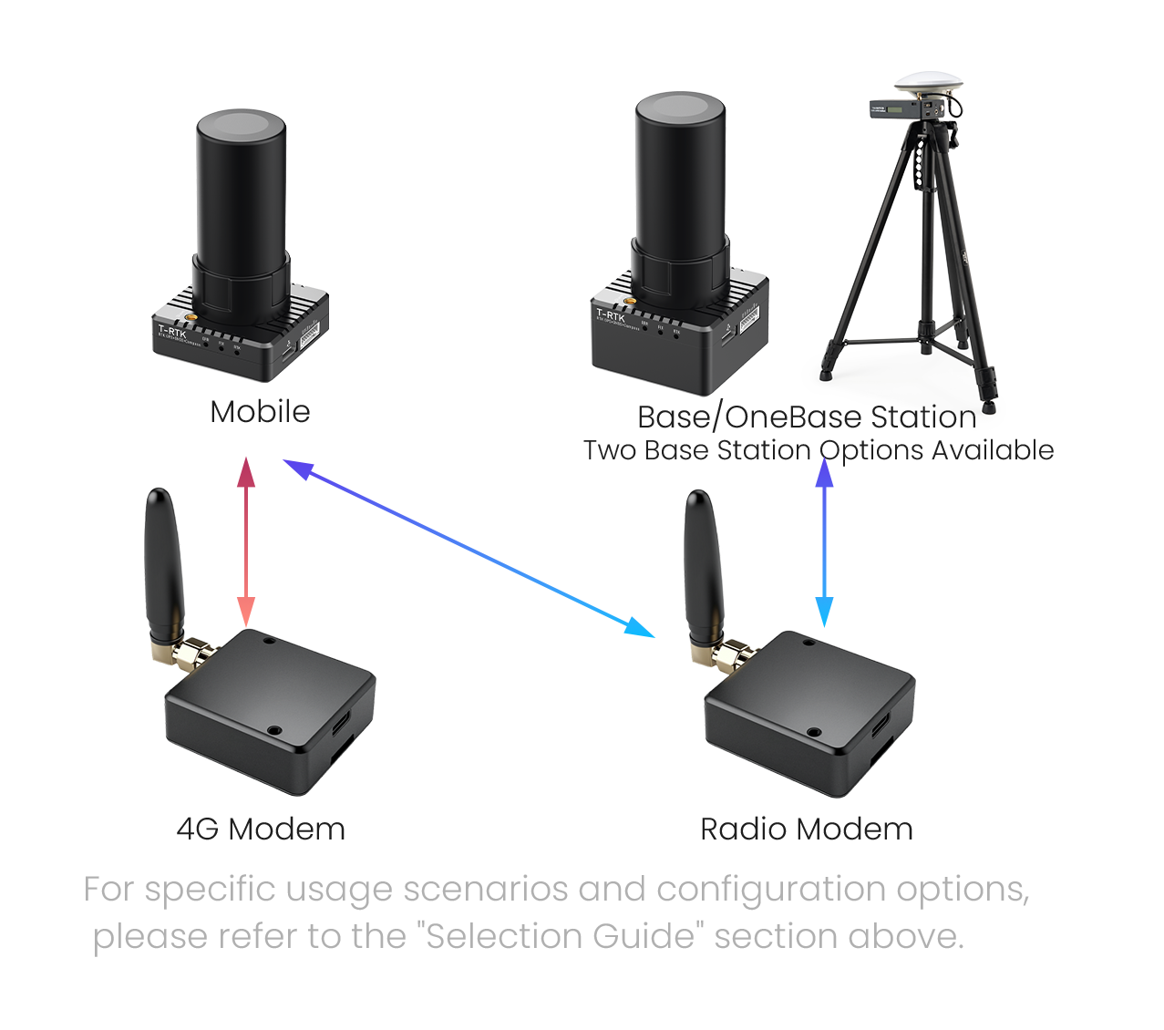
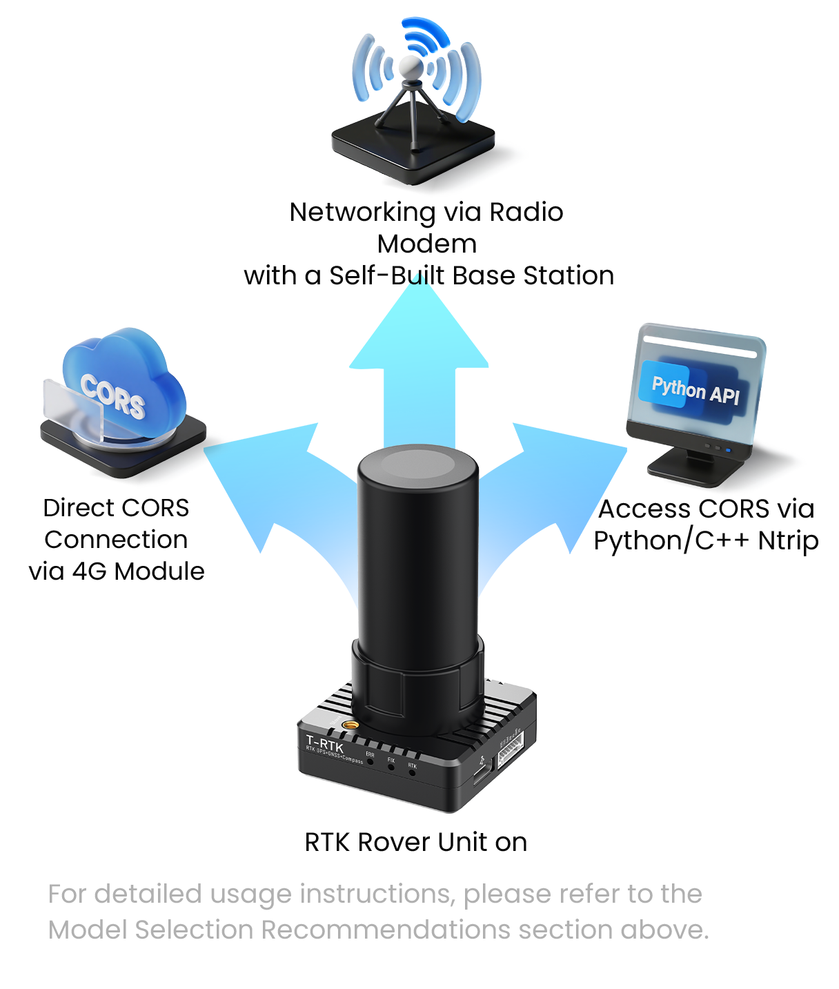
| 4G module | Internet standards | 4G full network compatibility, supports China Mobile/China Unicom/China Telecom |
| Dimensions | 39mm*39mm*14.5mm(Without antenna) |
| Weight | 49g(With antenna) |
| Operating Voltage | 5V(RTK Direct Power Supply) |
| Power consumption | <0.3W |
| Baud rate | Only supports 115200 |
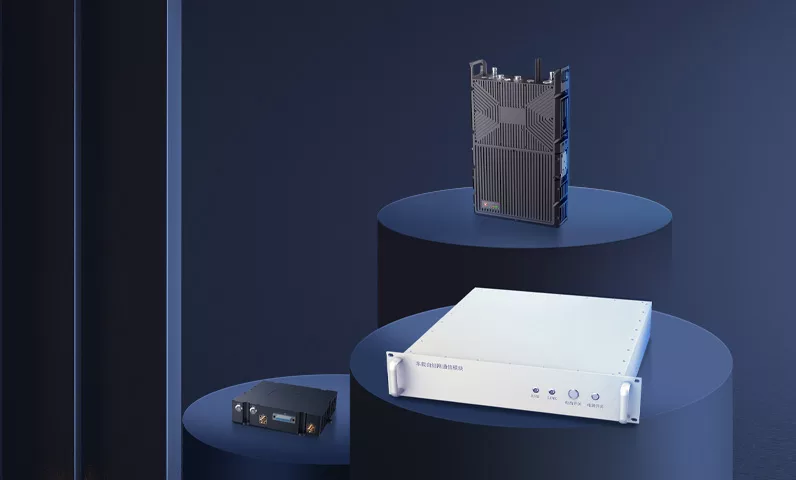
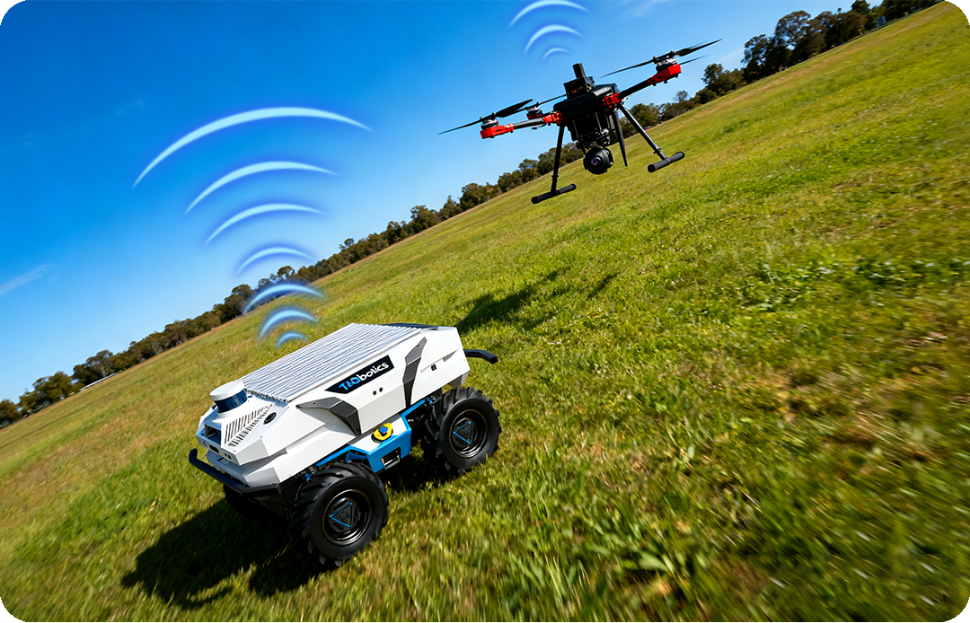
| Radio Module | Networking Method | Point-to-multipoint, central network configuration |
| Maximum number of devices in a network | Theoretical upper limit: 100 |
| Operating frequency band | 410~525MHz |
| Maximum output power | 22±0.5dBm@470MHz |
| Transmission rate | maximum 0.268Kbps |
| Communication range | maximum 5km(Air-to-air) |
| Dimensions | 39mm*39mm*14.5mm(Without antenna) |
| Weight | 49g(With antenna) |
| Operating Voltage | 5V(RTK Direct Power Supply) |
| Power consumption | <0.4W |
| Baud rate | Only supports 115200 |
| Four-arm helical antenna | Operating Mode | GPS L1/L2/L5 |
| BDS B1/B2/B3 |
| GLONASS L1/L2/L3 |
| GALILEO E1/E5a/E5b/E6 |
| SBAS L1/L5,QZSS L1/L2/L5/L6 |
| IRNSS L5 |
| gain | 32±2dB |
| Interface | SMA-J |
| Dimensions | Φ27.3*58.6mm |
| Weight | 16g |
| Mushroom-head antenna | Operating Mode | GPS L1/L2/L5 |
| BDS B1I/B2I/B3I/B1C/B2a/B2b |
| GLONASS L1/L2/L3 |
| GALILEO E1/E5a/E5b/E6 |
| SBAS L1/L5,QZSS L1/L2/L5/L6 |
| IRNSS L5, L-Band |
| gain | 38±2dB |
| Interface | TNC-K |
| Dimensions | Φ154*64.2mm |
| Weight | 280g |
| Four-Arm Helical Antenna Mount | Dimensions | Height 11.7cm |
| Weight | 16g(Feeder-containing) |


