PRODUCT INTRODUCTION
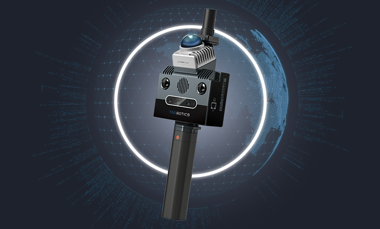
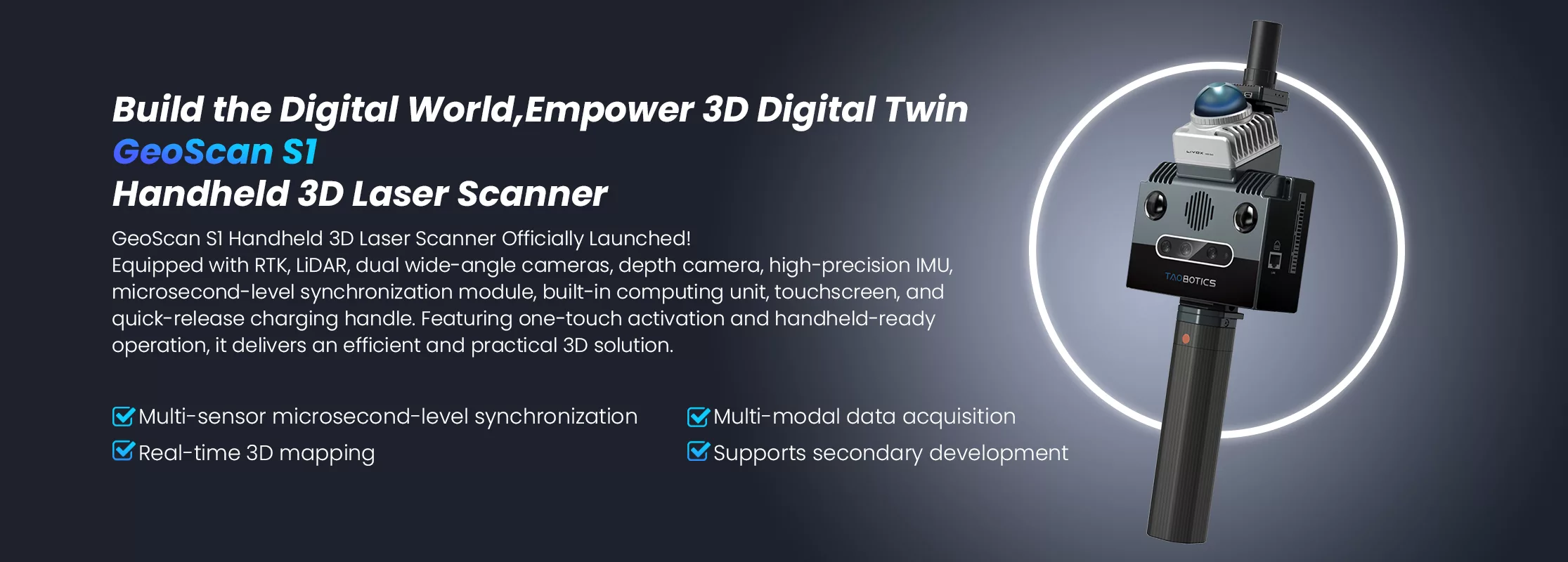
GeoScan S1: The Ultimate Cost-Effective Handheld 3D Laser Scanner is Now Available!
Featuring a lightweight design and one-touch operation, this device provides an efficient and practical 3D solution. Driven by multi-modal sensor fusion algorithms, it enables real-time reconstruction of 3D scenes with centimeter-level accuracy, adaptable to a wide range of industrial and environmental applications.
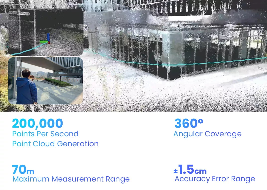
With 200,000 points per second mapping capability, a 70-meter measurement range, and 360° full coverage, it effortlessly handles large-scale scenes exceeding 200,000㎡. The optional 3D Gaussian data capture module ensures high-fidelity real-world replication, while cross-platform integration—supported by a high-bandwidth Ethernet port and dual USB 3.0 interfaces—offers flexible expansion for research and experimentation.
Designed to lower development barriers, it empowers developers to rapidly acquire R&D capabilities and unlock limitless innovation possibilities!
PRODUCT FEATURES

Multi sensor fusion

Super Heavy Load

Open Source

Support preview

Indoor 3D reconstruction

Microsecond level data synchronization

Multi scenario

Export ready to use

High-precision maps

3D plotting

ROS

Use Tutorial
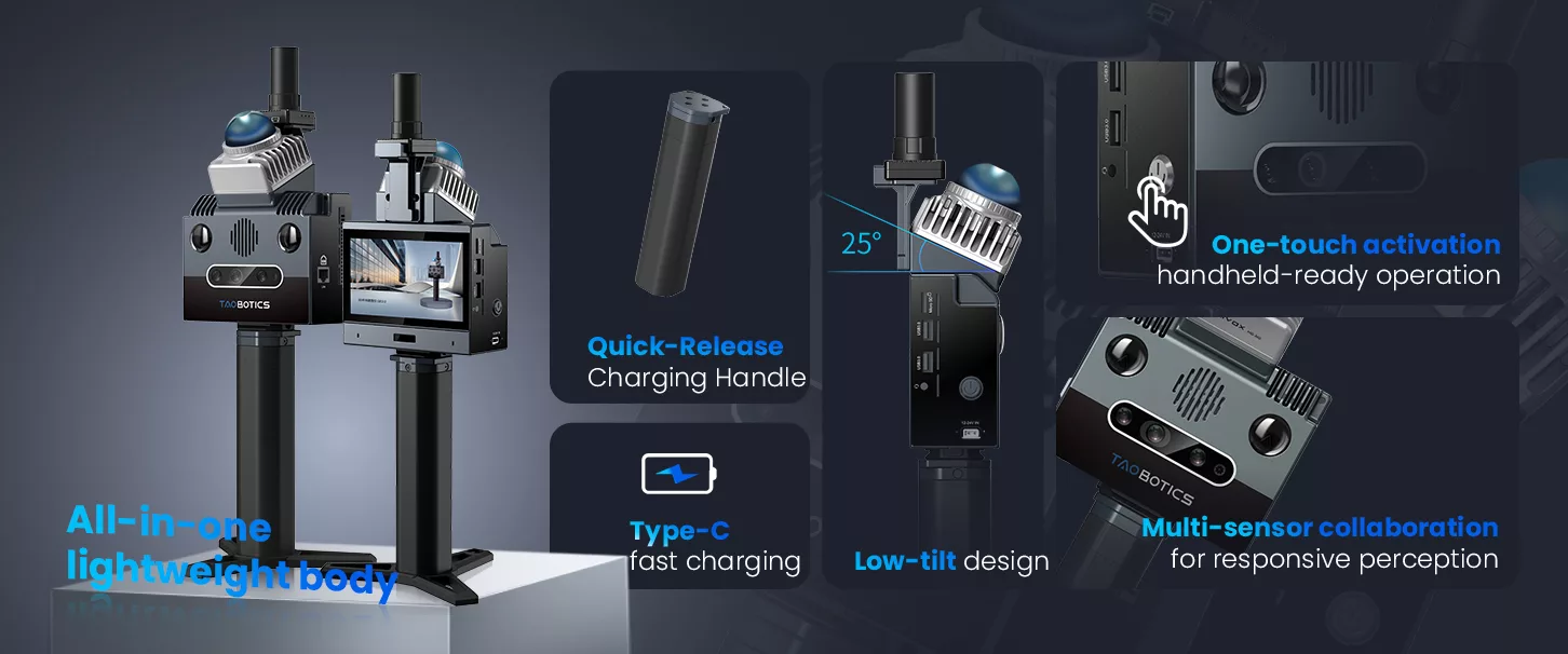
Compact Design, All-in-one Integration
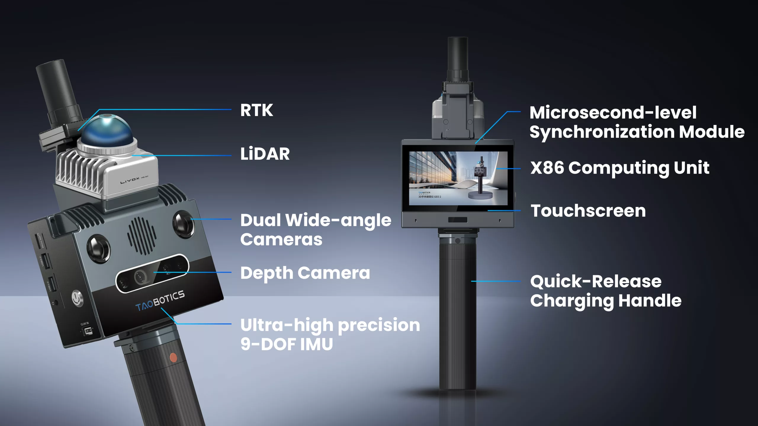
Features abundant sensor resources and expandable interfaces, fully unleashing hardware capabilities.
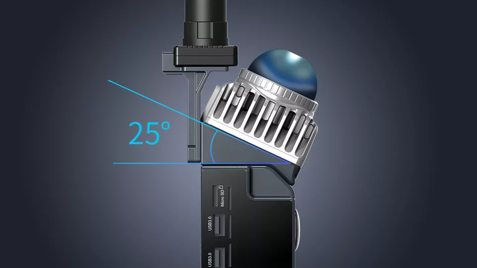
Low-tilt Design, Enhanced Efficiency
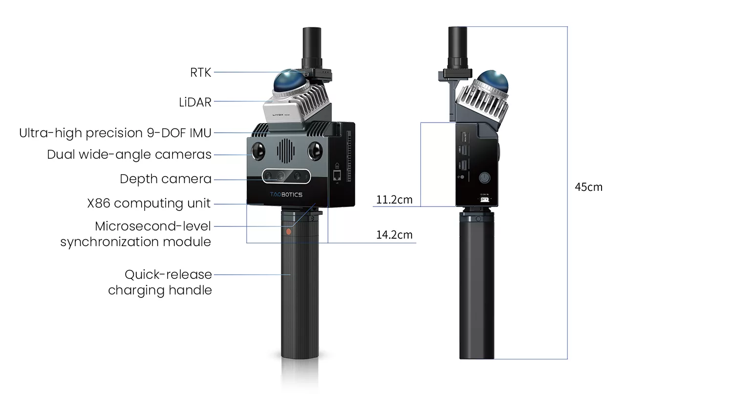
LiDAR installed at a 25° tilt angle covers multiple orientations, eliminating the need for repeated data collection.
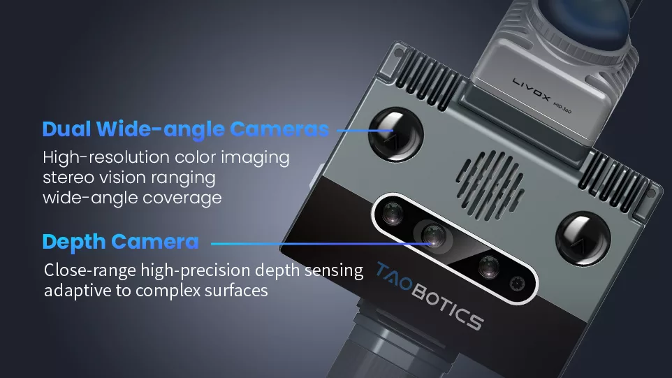
Multi-sensor Collaboration for Responsive Sensing
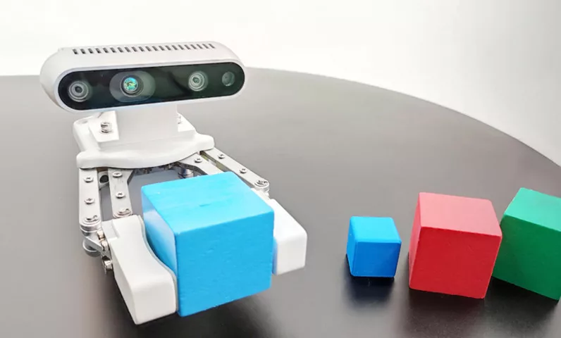
Combines dual wide-angle cameras, depth cameras, and LiDAR to achieve long-range precise ranging, near-field detail enhancement, and robust adaptability in complex environments, significantly improving detection reliability.
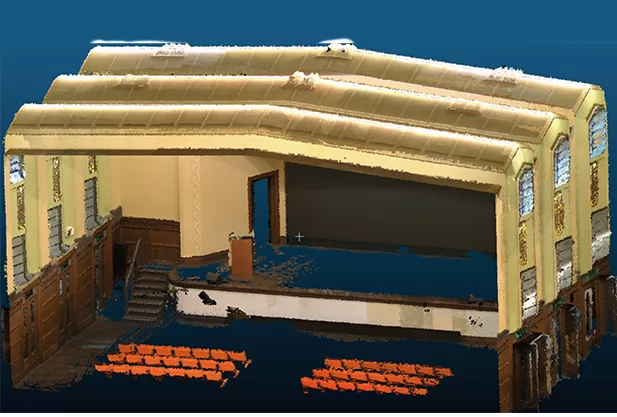
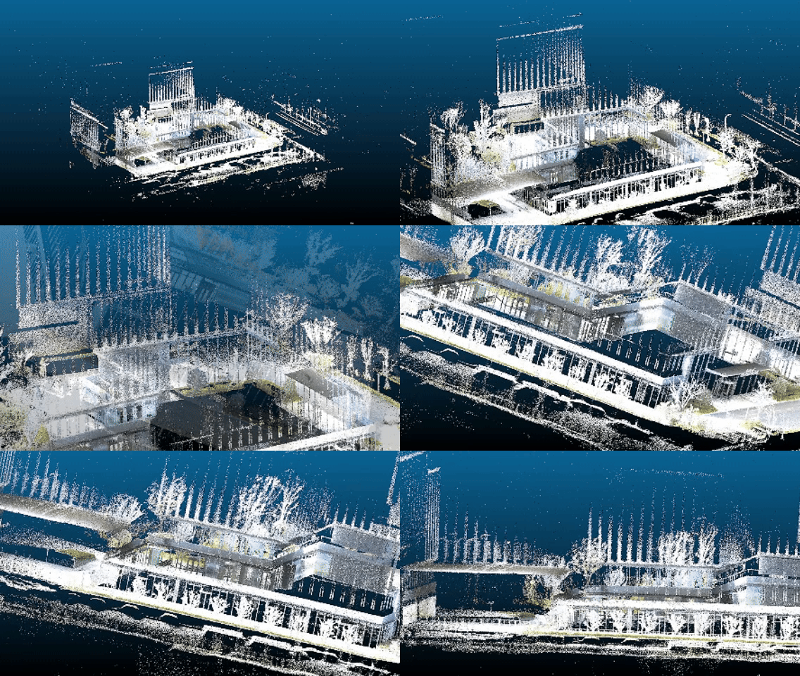
200,000㎡ True-color Fusion
Enables real-time scanning of large-scale scenes (up to 200,000㎡) with instant visualization and seamless color fusion, ensuring high-fidelity data output.
Designer and manufacturer of mobile robots, shipped to over 50 countries worldwide
Real-time Modeling with High-fidelity Reconstruction
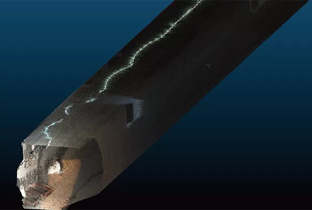
Multi-sensor fusion, microsecond-level data synchronization, and real-time online mapping. Equipped with high-precision multi-sensor SLAM mapping algorithms, the system outputs high-accuracy point cloud data in real time. Integrated with a high-definition color camera, it generates richly colored point cloud data.
Multi-sensor Fusion Technology
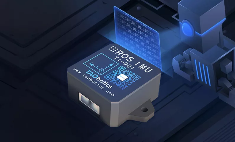
Equipped with years of in-house developed multi-sensor fused SLAM algorithms and ultra-high precision IMU modules, it leverages advanced calibration technologies and microsecond-level data synchronization to effortlessly handle complex indoor/outdoor environments, comprehensively meeting surveying and mapping demands.

Cross-platform Integration for Unmanned Operations
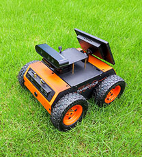
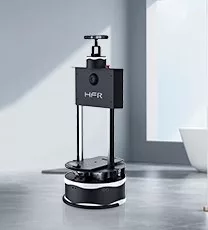
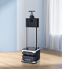
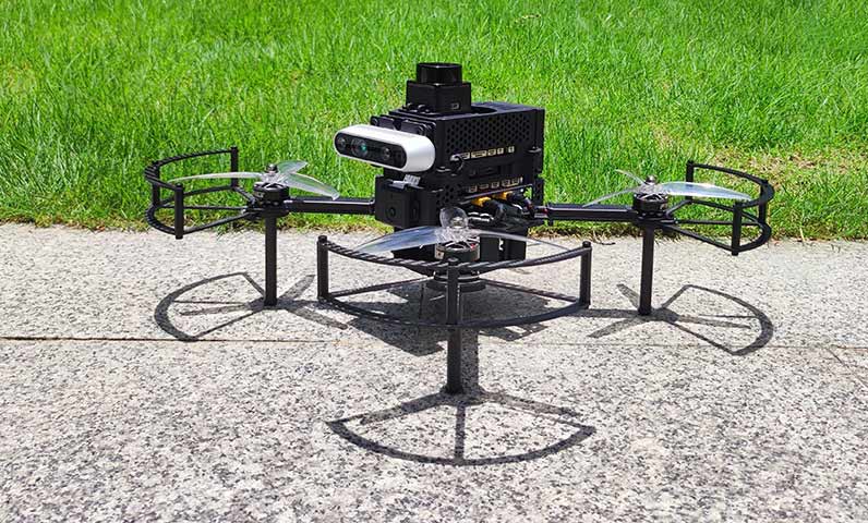
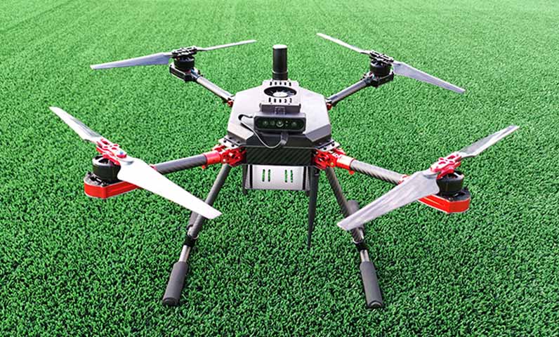
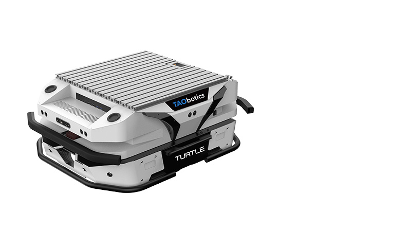
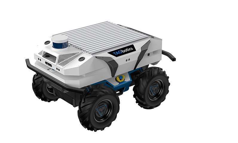
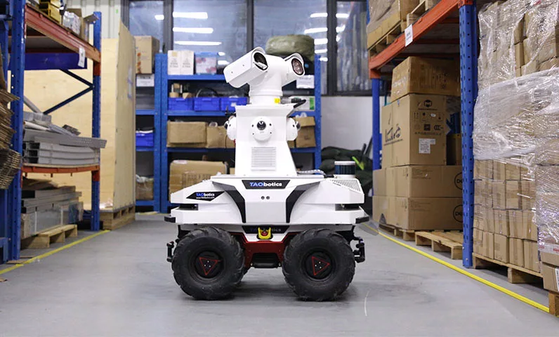
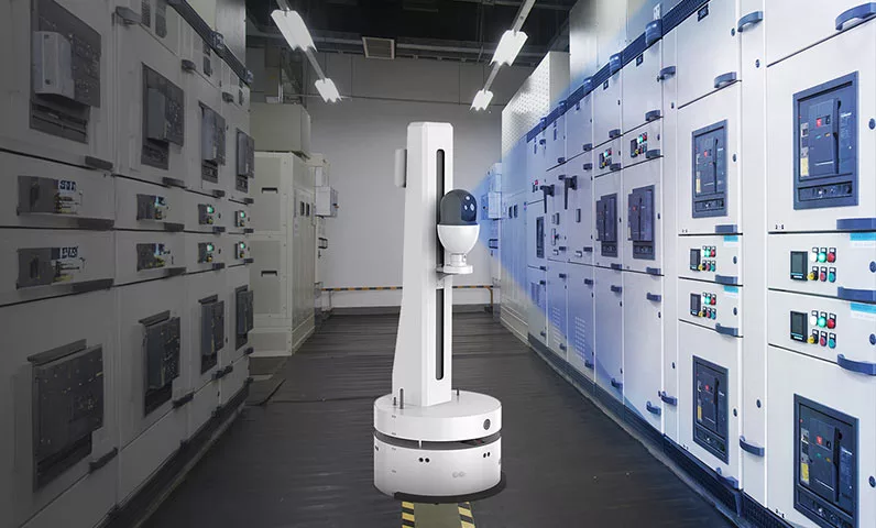
Supports cross-platform integration and compatibility with diverse payload platforms (e.g., UAVs, UGVs, robotic dogs, humanoid robots), enabling seamless unmanned workflows.



3D Gaussian Real-World Reconstruction
Equipped with an optional 3D Gaussian module, it achieves high-fidelity real-world reconstruction, digitally replicating physical environments with precision

TECHNICAL PARAMETER
System Parameters | Measurement Mode | 3D point cloud map dynamic construction, color fusion, real-time preview |
Multi-sensor Fusion | Fusion of camera, LiDAR, IMU, GPS | |
Scanning Area | Up to 200,000 square meters | |
Mapping Real-time | Supports real-time computation | |
Point Cloud Rate | 200,000 points/second | |
Colored Point Cloud | Supported | |
Export Formats | PCD, LAS, PLY, and other common formats | |
System Environment | Ubuntu 20.04, ROS-compatible | |
Relative Accuracy | Better than 3 cm | |
Absolute Accuracy | Better than 5 cm | |
General Parameters | Dimensions (LWH) | 14.2cm * 9.5cm * 45cm |
Power Input | 13.8V – 24V | |
Power Consumption | 25W | |
Battery Capacity | 88.8Wh | |
Weight | 1.3 kg (excluding battery), 1.9 kg (including battery) | |
Operating Time | Approx. 3h ~ 4h | |
Storage Capacity | 256G | |
Housing Material | Aviation-grade aluminum | |
Power Supply Method | Magazine battery | |
Touchscreen | 5.5-inch @1280×720 | |
Computing Unit | Model | Intel N5095 |
CPU Specifications | 4-core 2.0GHz (Turbo 2.9GHz), 4MB cache | |
Memory/Storage | 16GB/256GB (expandable via TF card) | |
Wireless Connectivity | Wi-Fi/Bluetooth, 2.4G/5G | |
External Interfaces | Gigabit Ethernet, USB3.0*2, Micro SD, 3.5mm audio port | |
Microsecond Sync Module | Sync Mode | Hardware IO trigger synchronization |
Sync Precision | Microsecond-level | |
High-precision IMU | Frequency | Up to 800 Hz |
Data Package | Acceleration, angular velocity, magnetometer, attitude angle (quaternion) | |
Factory Calibration | Static, dynamic, temperature zone, nonlinear calibration, axis alignment | |
RTK | Model | T-RTK UM982 Mobile |
Antenna | Full-frequency quadrifilar helix antenna | |
LiDAR | Model | Livox Mid-360 |
Depth Camera | Model | Intel D435i |
Industrial Camera | Quantity | 2 |
Exposure Method | Global shutter | |
Resolution & Frame Rate | Color image, up to 1280×1024 @201fps | |
Field of View | 180°fisheye |


